Last updated: May 2026
Most travel articles place Laikipia somewhere vague — “the highlands,” “central Kenya,” “near Mount Kenya.” That’s accurate but not useful. Where is Laikipia Kenya actually sits is more interesting and more specific: a 9,500 km² plateau straddling the equator at 1,700–2,500 m, between Mount Kenya to the south-east and the Great Rift Valley to the west, north of Nairobi by 200 km in a straight line. The plateau is one of Kenya’s 47 counties (Laikipia County), and its position — the seam between the wet Central Highlands and the arid Northern Frontier — is the single most important fact about it.
This guide gives you the location precisely, the geography in detail, the maps you actually need, and the practical context that makes the answer to “where is Laikipia” matter to anyone planning a visit.
The Short Answer
Laikipia is in central Kenya, immediately north and west of Mount Kenya, between latitudes 0°00′ and 0°45′ N (the equator runs through the southern part of the county) and longitudes 36°15′ and 37°20′ E. Driving distance from Nairobi to the principal town of Nanyuki is about 200 km via the A2 highway — three to four hours depending on traffic. Flight time from Nairobi (Wilson Airport) to Nanyuki Airstrip is 45 minutes.
The Geographic Setting
Bordered by Four Distinct Regions
Laikipia’s borders are with regions that look and feel completely different, which is why the plateau itself is so varied.
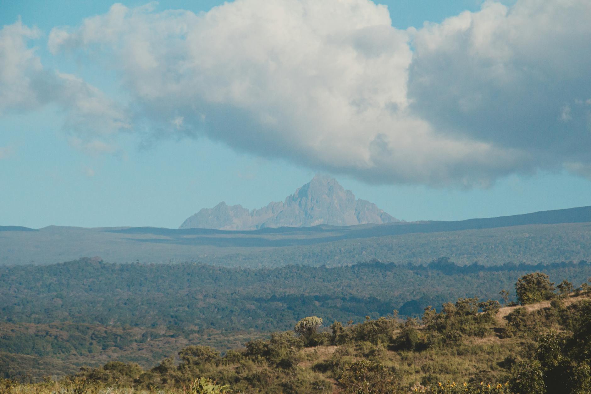
South: Mount Kenya and the Aberdares. The southern boundary of Laikipia County is the Mount Kenya forest belt. Mount Kenya itself (5,199 m) and the Aberdares range (4,001 m) form a wall of high-altitude forest and montane vegetation immediately south of the plateau. This is where most of Laikipia’s water comes from — every river on the plateau originates in these mountains.
West: The Rift Valley. The Great Rift Valley drops away west of Laikipia, with Lake Bogoria, Lake Baringo and the Kerio Valley below the western escarpment. Nyahururu, Laikipia’s second town, sits near the southern end of this western boundary and is the gateway from the Rift towns of Nakuru and Naivasha.
North: The Northern Frontier (Samburu and Isiolo Counties). The northern edge of Laikipia opens into the semi-arid northern rangelands — Samburu County, Isiolo County, and beyond them Marsabit and Turkana. There is no fence; wildlife and pastoralists move freely between the two regions. The Ewaso Ng’iro river, which crosses Laikipia from south-west to north-east, ultimately flows into the Lorian Swamp far to the north.
East: Meru County and the Nyambene Hills. The eastern boundary follows the foothills of Mount Kenya and the Nyambene volcanic hills, descending toward Meru and the lower country beyond.
The Plateau Itself
Laikipia is a high plateau — geologically, an uplifted block of older volcanic and metamorphic rock that has been further shaped by lava flows from Mount Kenya and the Aberdares. Average elevation is 1,800–2,000 m. The lowest point is around 1,260 m on the northern fringe; the highest agricultural land approaches 2,400 m near Nyahururu.
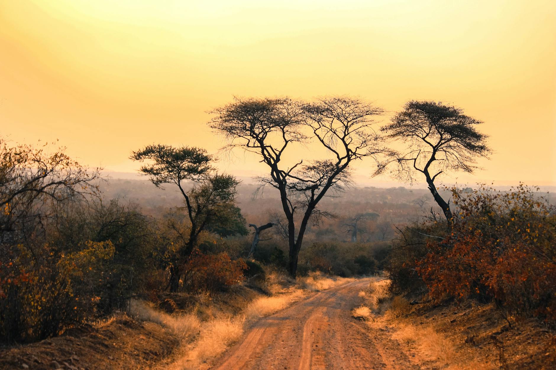
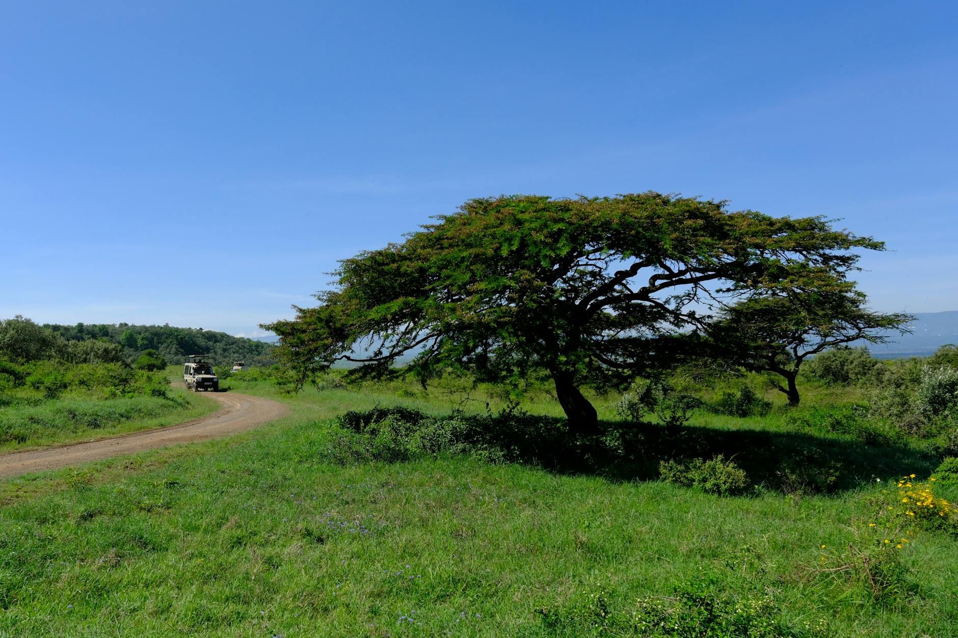
The dominant landform is gently rolling open country — savannah grassland and acacia bushland — broken by rocky outcrops, escarpments and the river valleys. The Loroghi escarpment in the north-west and the Ewaso valley in the centre are the most dramatic relief features. The country looks more like the savanna of southern Africa than the mountainous Kenyan highlands south of it.
How to Find Laikipia on a Map
If you’re looking at a map of Kenya, Laikipia is the rough trapezoid immediately north of the dome-shaped Mount Kenya. Several reliable map sources:
SafariBookings — Laikipia Plateau Map: A clear tourism-oriented map showing the conservancies, lodges and major roads.
Google Maps: Search “Laikipia County, Kenya” and zoom to see the county outline. The major towns of Nanyuki and Nyahururu are labelled, as are the larger conservancies like Ol Pejeta, Lewa and Loisaba.
Kenya Wildlife Service maps: Less detailed for tourism but useful for understanding the relationship between Laikipia’s conservancies and the neighbouring national parks (Mount Kenya N.P., Aberdares N.P., Samburu, Buffalo Springs).
Wildlife Forum / Conservancies maps: The Laikipia Wildlife Forum publishes a detailed conservancy map showing every private and community conservancy on the plateau.
Where Laikipia’s Conservancies Are
Laikipia’s 24-plus conservancies are spread across the plateau in three rough clusters:
Southern cluster (closest to Nanyuki and Mount Kenya): Ol Pejeta, Solio, Borana, Lewa Wildlife Conservancy, Sosian, Mpala, Loldaiga. These are 30 minutes to 2 hours from Nanyuki by road.
Central cluster (along the Ewaso Ng’iro corridor): Mugie, Suyian, Ol Donyo Lemboro, Sangare, ADC Mutara. Reached from Nanyuki by 1.5–3 hour road transfers or short charter flights.
Northern cluster (toward Samburu): Loisaba, Ol Malo, Karisia/Tumaren, Il Ngwesi, Tassia (on Lekurruki community land), Naibunga community conservancies. Reached typically by air (45-minute SafariLink flight from Nanyuki) or 2.5–4 hour road transfer.
Distance From Major Kenyan Destinations
For trip planning, here’s how Laikipia connects to the rest of Kenya:
Nairobi (capital, international airport): 200 km / 3.5–4.5 h by road; 45 min by air to Nanyuki.
Nakuru (Lake Nakuru National Park): 170 km / 3.5 h by road via Nyahururu.
Aberdare National Park: 60–100 km / 1.5–2.5 h by road from southern Laikipia conservancies.
Samburu National Reserve: 100–180 km / 2–3.5 h by road from northern Laikipia (Loisaba, Ol Malo). Very short (15-min) flight transfers.
Mount Kenya National Park: Borders Laikipia directly. Standard climbing routes start from Nanyuki, Naro Moru and Chogoria.
Masai Mara National Reserve: No direct road; flight to Nairobi (Wilson) and onward to the Mara airstrips, total transfer time roughly 4–5 hours.
Kenyan coast (Diani, Watamu, Lamu): Fly Nairobi to Mombasa or Lamu, then road or boat. Total travel time from Laikipia 6–10 hours depending on destination.
The Ewaso Ng’iro: Laikipia’s Defining Watercourse
The Ewaso Ng’iro river (sometimes spelled Uaso Nyiro) is the structural river of the Laikipia landscape. It rises on the western flanks of Mount Kenya and the Aberdares, flows north-west through southern Laikipia, then turns north-east across the plateau and out into Samburu County, eventually emptying into the Lorian Swamp far to the north of the equator. Most of Laikipia’s lodges and conservancies are located within an hour or two of the river or one of its tributaries (the Ewaso Narok being the largest).
The river’s importance: it provides drinking water for wildlife year-round in an otherwise semi-arid landscape. Game densities along the riverine corridor are far higher than in the surrounding bushland. Riverine forest along its banks adds habitat (and bird species) that would not otherwise occur on the plateau.
Vegetation and Landscape Across the Plateau
“Where is Laikipia” deserves an answer that includes what it actually looks like once you arrive. The plateau is a mosaic:
Open grassland (Themeda, Pennisetum, Panicum species) dominates the central plains and Solio Ranch — the country that looks most like the African savanna of childhood imagination.
Acacia bushland (especially Acacia drepanolobium — “whistling thorn” — and A. mellifera) covers vast stretches of the plateau. The whistling thorn fields near Mpala are one of East Africa’s iconic landscapes.
Riverine forest follows the Ewaso Ng’iro and its tributaries — fig trees, yellow-fever acacia (Acacia xanthophloea), wild olive. This is where you find shade, birds, and the densest wildlife at midday.
Montane forest on the southern fringe (the boundary with Mount Kenya forest reserve) and on isolated higher hills, with cedar, podo and bamboo.
Rocky escarpments in the north-west (the Loroghi range) and along the Ewaso valley — granite kopjes and ridges, important for raptor nesting and as predator denning sites.
Cultivated land on the southern, wetter belt — particularly around Nanyuki, Naro Moru and Nyahururu, where smallholder agriculture (maize, wheat, vegetables, dairy) and large flower farms dominate.
Climate at a Glance
Laikipia’s climate is shaped by altitude and the rain shadow of Mount Kenya. Daytime temperatures on the plateau are 22–28 °C year-round; nights drop to 8–14 °C. There are two rainy seasons (long rains March–May, short rains October–November) and an extended dry season from June through September. Annual rainfall ranges from 400–500 mm in the northern lowlands to 1,200 mm at the southern foot of Mount Kenya. The plateau is much drier than the Aberdares or Mount Kenya forest itself.
Towns and Population Centres
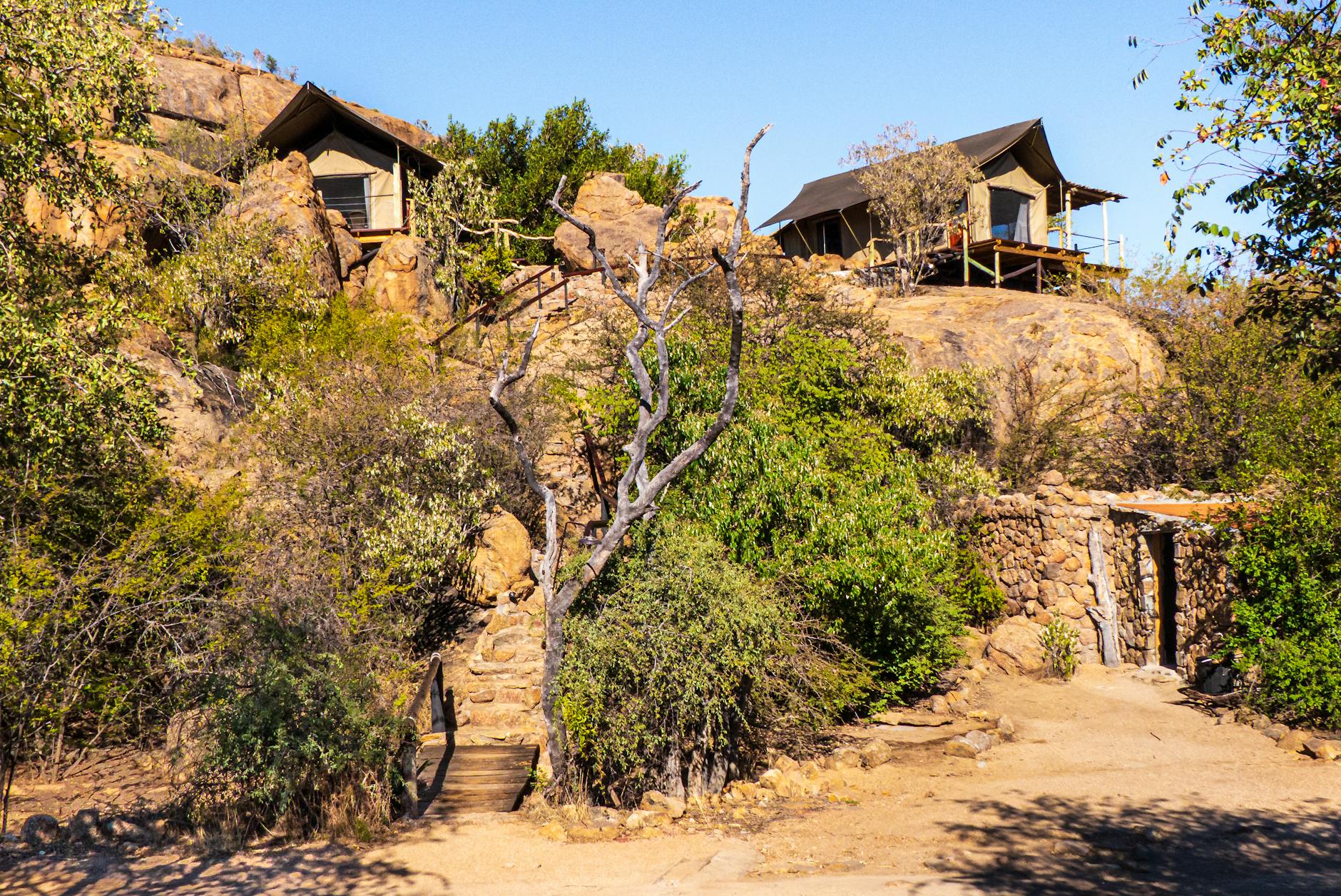
Nanyuki: the principal town, population around 70,000–100,000, on the south-eastern edge of the county at 1,947 m. Sits on the equator. Gateway for most safari traffic. Hospitals, banks, supermarkets, a small airport, the British Army training base.
Nyahururu: the second town, population around 50,000, on the south-western edge at 2,360 m. Famous for Thomson’s Falls. Less safari-relevant than Nanyuki but an important regional centre.
Rumuruti: the county capital, in the centre-west of the county. Smaller (population around 15,000), agricultural service town.
Doldol: the principal town in the north of the county, on the road to the community conservancies of the northern highlands.
Smaller centres: Naibor, Ol Moran, Mukutan, Wamba (just over the border in Samburu), Ngare Ndare.
Administrative Context
Laikipia is one of Kenya’s 47 counties (Kenya’s devolved administrative units, established by the 2010 Constitution). The county is divided into three constituencies: Laikipia East (centred on Nanyuki), Laikipia West (centred on Rumuruti), and Laikipia North (centred on Doldol). The county government is based in Rumuruti. Kenya’s central government is also represented through agencies like the Kenya Wildlife Service (which manages Mount Kenya National Park along the southern boundary), the Kenya Police, and the Kenya Forest Service.
How to Get to Laikipia
By Air
SafariLink and AirKenya operate daily scheduled flights from Nairobi’s Wilson Airport (WIL) to Nanyuki Airstrip (NYK), Lewa Downs (LWN), Loisaba (LOY), and Mugie. Flight times are 45–90 minutes. One-way fares run USD 200–300. Charter flights serve every conservancy airstrip on the plateau.
By Road from Nairobi
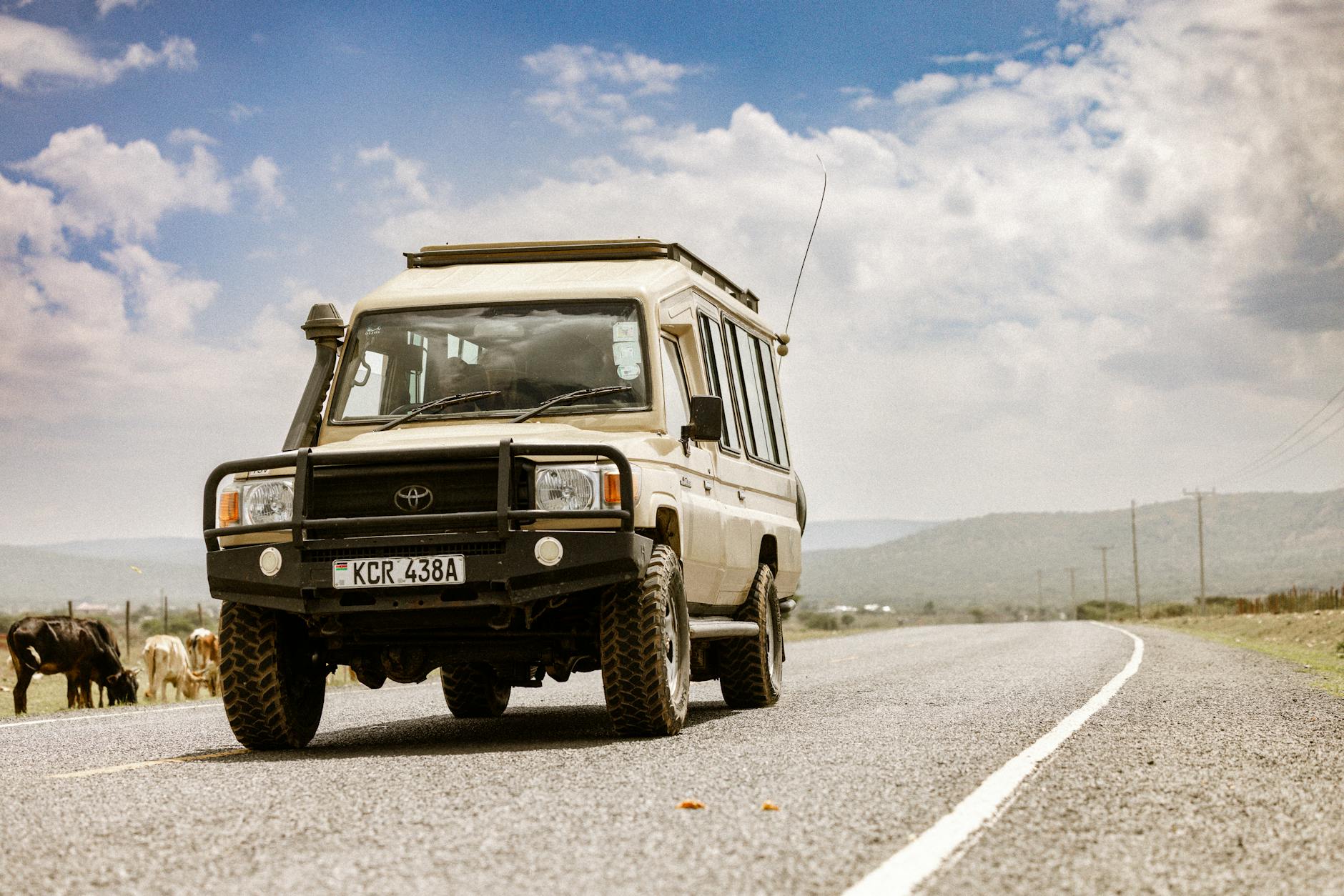
The A2 highway runs north from Nairobi via Thika, Murang’a, Karatina and Nyeri to Nanyuki — about 200 km, 3.5–4.5 hours by car depending on traffic. The road is fully paved. Self-drive in a saloon car is straightforward; the rougher tracks within the conservancies require a 4×4.
By Road from Other Regions
From Nakuru: 170 km via Nyahururu, 3.5 hours. From Mombasa: 700 km, full day. From Kisumu: 350 km via Nakuru, 7 hours. From the Masai Mara: best to fly back to Nairobi and connect onward.
Public Transport
Matatu (shared minibus) and shuttle services run hourly from Nairobi (Tea Room stage) to Nanyuki, Nyahururu and Rumuruti. KES 1,000–1,800 per person. Onward travel within the county relies on local matatu, boda boda (motorcycle taxi) or hired vehicles.
What Makes the Location Distinctive
The Equator Runs Through It
The equator crosses the southern part of Laikipia, with the famous Equator monument on the southern edge of Nanyuki. Elsewhere in Kenya the equator runs through agriculturally intensive highlands or through arid lowlands; in Laikipia it runs through the heart of a wildlife conservation landscape, which is unusual.
The Habitat Seam
Laikipia’s defining geographical feature is being the seam between two huge African biomes: the wetter, cooler Central Highlands and the dry Northern Frontier. The result is biological — species from both biomes coexist on the plateau, which is why Laikipia’s wildlife and bird lists are so varied.
Altitude
The plateau’s elevation matters in three practical ways: temperatures are mild and year-round comfortable; mosquito populations and malaria risk are reduced; light is clearer for photography (less haze than at coastal elevations). Laikipia is one of the few African safari destinations where you might want a fleece in the evening.
Distance from Coastal and Western Tourism Routes
Laikipia is geographically off the standard tourism circuit. Most Kenyan safari traffic moves on the Nairobi–Mara axis to the south-west or the Mombasa coast to the south-east. Laikipia sits north — closer to the Northern Frontier than to the standard tourist routes — which is why it stays less crowded than the Mara even in peak season.
Frequently Asked Questions
Is Laikipia in central or northern Kenya?
Both, depending on how you draw the lines. Geographically central (it surrounds Mount Kenya and lies on the equator), but it functions as the southern edge of Northern Kenya for tourism, wildlife and pastoralist communities.
How do I get from Nairobi to Laikipia?
Fly Nairobi (Wilson) to Nanyuki (45 minutes, USD 200–300) or drive the A2 highway via Thika and Karatina (3.5–4.5 hours, paved). Both work; flying saves a day for short trips, driving lets you see the highland landscape and break the journey at Karatina or Nyeri.
How big is Laikipia County?
Laikipia County covers approximately 9,462 km² — comparable in size to Lebanon or roughly twice the area of the U.S. state of Rhode Island. The conservancy network covers a significant portion of this, particularly the central and northern parts of the county.
Where exactly is Mount Kenya in relation to Laikipia?
Mount Kenya is on the south-eastern boundary of Laikipia. The mountain dominates the southern horizon from much of the plateau, particularly in the morning before cloud builds. Most southern conservancies (Lewa, Borana, Ol Pejeta, Solio) have Mount Kenya views from their lodges.
Is Laikipia a national park?
No. Laikipia is a county and a conservancy landscape — privately and community-owned land managed for wildlife conservation in partnership with safari tourism. It’s distinct from Kenya’s national parks system (managed by the Kenya Wildlife Service). Mount Kenya and Aberdare National Parks border Laikipia but are not part of it.
How does Laikipia compare in size to the Masai Mara?
Laikipia (9,500 km²) is larger than the Masai Mara National Reserve (1,510 km²) and larger than the entire Mara ecosystem including community conservancies (about 6,000 km²). Population density of wildlife is higher in the Mara, but the total wildlife area Laikipia represents is greater.
Can I visit Laikipia from Nairobi as a day trip?
Possible but not recommended. The 4-hour drive each way leaves only a few hours on the plateau and you’ll see much less than even one overnight stay would deliver. The minimum useful Laikipia trip is two nights.
The Bottom Line
Laikipia sits in the middle of Kenya — geographically central, conservation-historically pivotal, and ecologically transitional. The plateau’s location between Mount Kenya, the Rift Valley, and the Northern Frontier is the reason for almost everything that makes it interesting: the wildlife variety, the landscape diversity, the altitude advantage, and the fact that it remains less visited than its southern Kenyan rivals despite holding half of Kenya’s black rhinos and one of the largest contiguous private wildlife landscapes in Africa. Find Nanyuki on a map, look immediately north and west, and you’ve found Laikipia.